
Mining transformed more than the underground world of the Ore Mountains. Across roughly 800 years it created collapse depressions, spoil heaps, artificial watercourses, ponds, smelting sites, transport routes and a dense network of mining towns. Some traces remain prominent; others lie beneath woodland or later development. The effects were neither uniform nor wholly beneficial. Mining generated employment, knowledge and urban prosperity, but also consumed timber, water and land and left subsidence damage and contaminated sites. This article explains how that complex cultural landscape evolved, and why conservation, remediation and present-day use have to be considered together.
Collapse depressions, spoil heaps and adits shaped the terrain

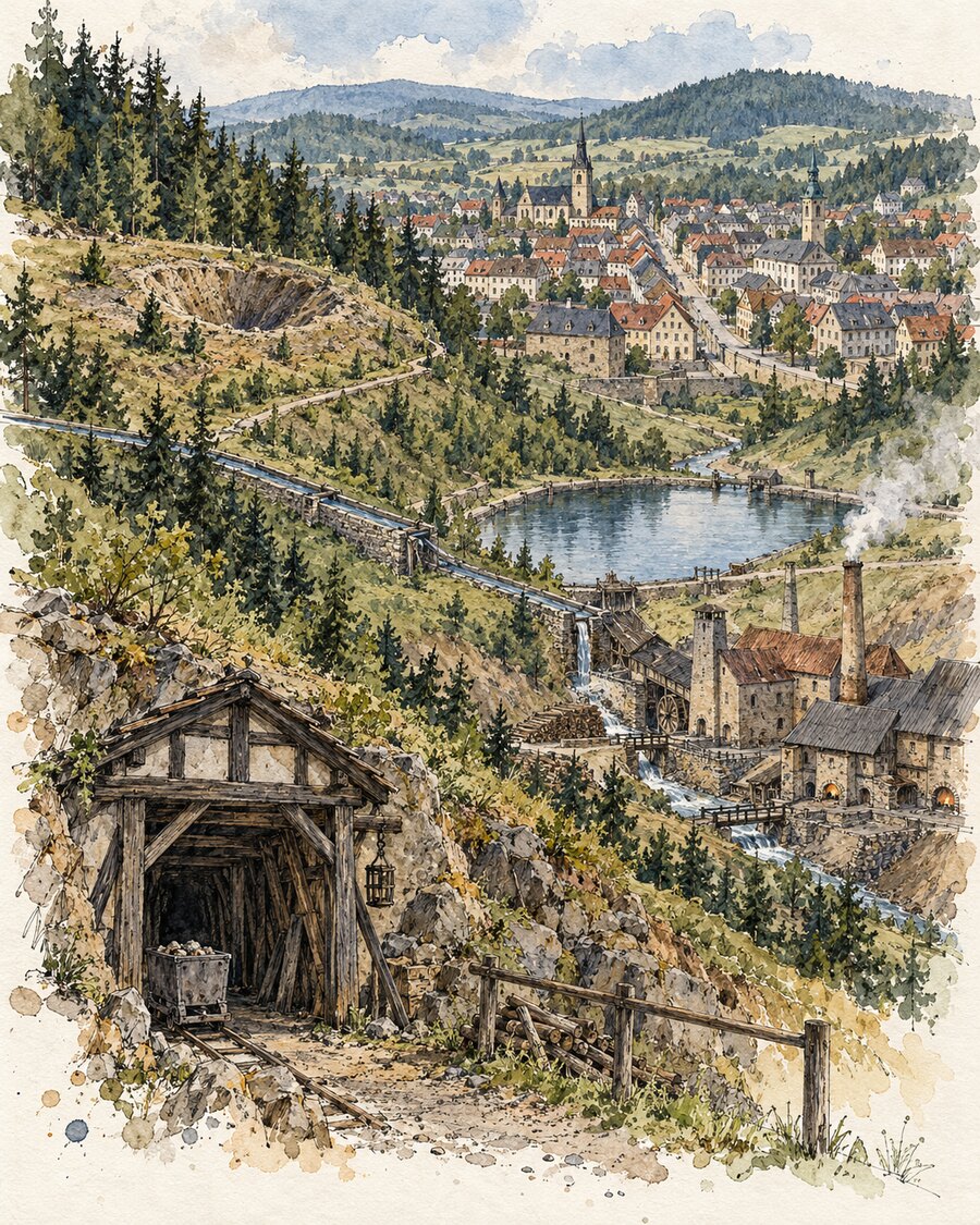
Shafts and adits opened access to ore deposits, while barren rock and processing residues accumulated as spoil heaps. The German term Pinge denotes a funnel-shaped or elongated depression created by near-surface extraction or the collapse of old workings. Large examples such as the Altenberg Pinge resulted from long sequences of different mining methods; elsewhere, rows of small shaft depressions still trace a vein across the terrain.
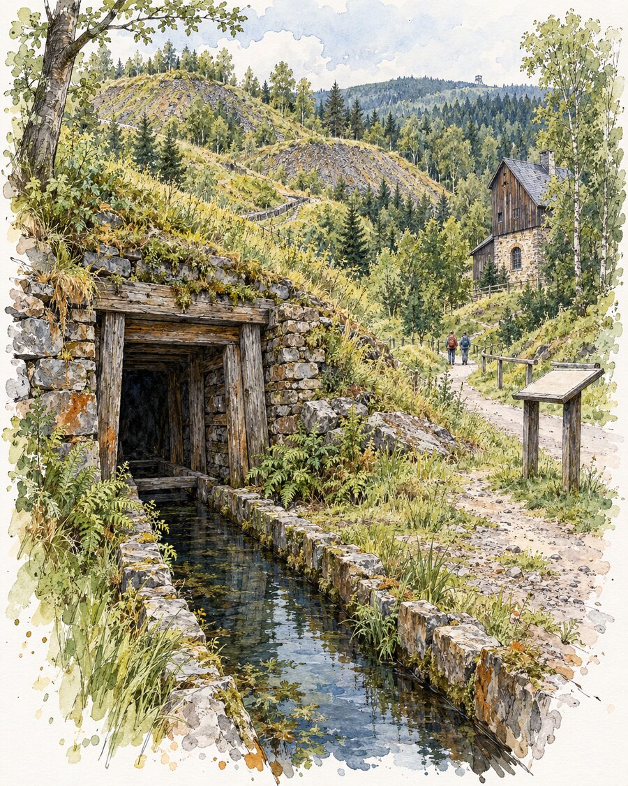
These features are not random irregularities. Their position, shape and material can provide evidence of the ore body, extraction method and period of operation. Yet wooded heaps and secured adit mouths should not be entered without expert guidance: mining heritage may also involve unstable ground, sudden collapses or harmful substances.
Water, woodland and roads became parts of the mining system

Water was both an obstacle and a source of energy. Inflow into mines had to be raised or drained through deep adits. Artificial ponds, ditches and underground water passages stored and conveyed water to wheels, pumping machinery and processing works. Networks such as the Freiberg mining water system connected many individual structures into a deliberately engineered landscape.
Woodland and transport routes were equally integrated. Timber was needed for supports, buildings, machinery and charcoal, making managed forestry increasingly important. Roads, and later railways and other transport facilities, linked mines, stamping mills, washing floors, smelters and markets. The present woodland should therefore not be read simply as untouched nature standing apart from mining.
Mining towns grew through administration, trade and supply
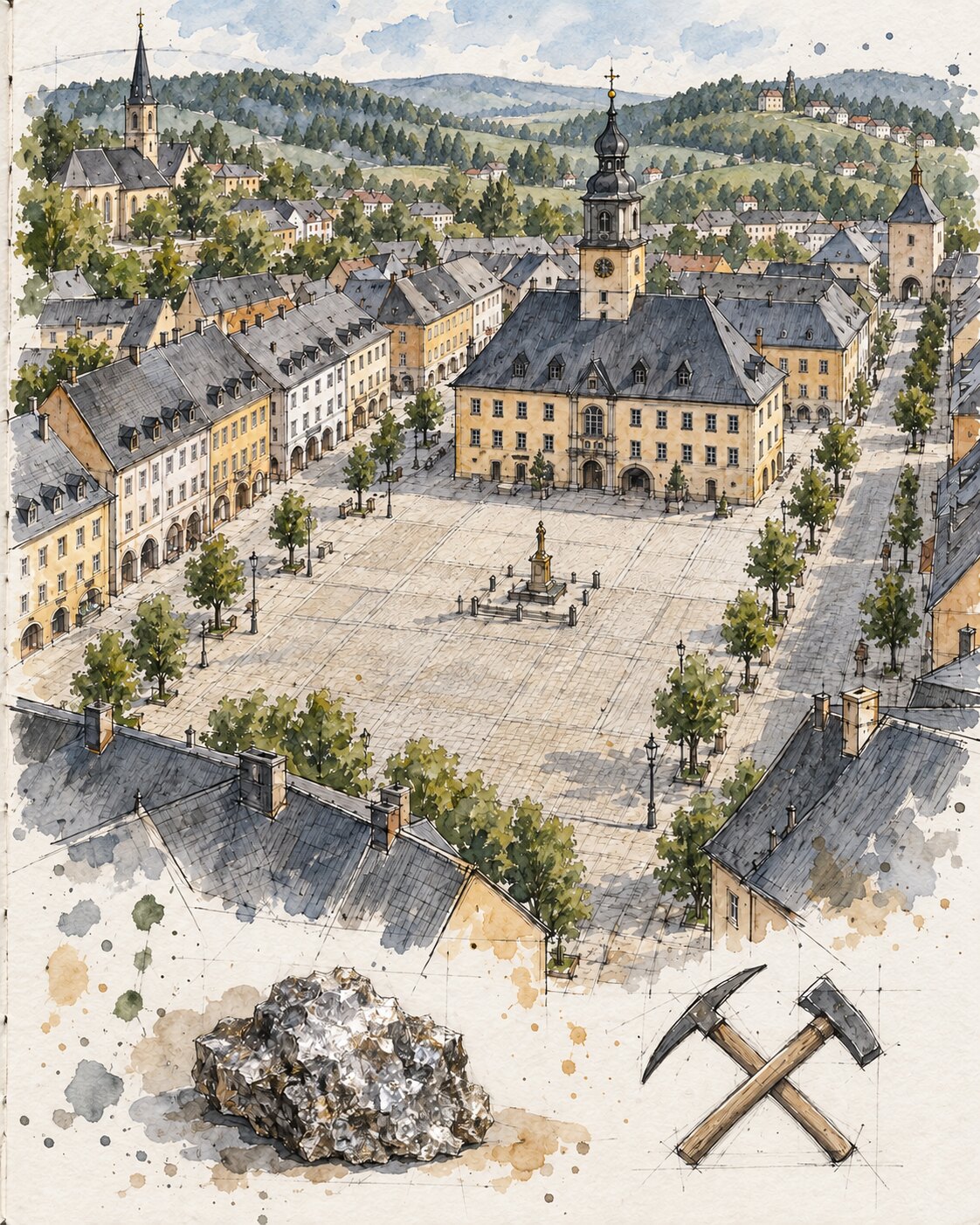
Ore discoveries attracted miners, craftspeople, merchants and investors. Freiberg developed beside its mining field from the twelfth century; Schneeberg, Annaberg and Jáchymov expanded during the silver booms of the fifteenth and sixteenth centuries. Marienberg was laid out as a planned town in 1521 with a regular street grid and large market square. Mining offices, mints, churches, hospitals, schools and warehouses turned mining towns into centres of administration, supply and culture.
Their influence extended beyond the walls. Suburbs, smelting settlements and villages provided labour, food, timber and haulage. When ore production declined, towns had to develop other trades or lost population. In the twentieth century, Wismut uranium mining produced another phase of rapid growth, new infrastructure and severe intervention, notably at Johanngeorgenstadt and Schlema. Urban development was therefore a recurring sequence of boom, adaptation and structural rupture, rather than a single founding event.
Processing and smelting left an environmental legacy
After extraction, ores had to be crushed, sorted, washed and smelted. These operations produced fine residues, slags, fumes and polluted water. The type and severity varied with the ore, process and period. Not every historic heap is therefore heavily contaminated, and not every former smelting site is harmless. Technical investigation determines whether containment, capping, water treatment or other measures are required.
The consequences of twentieth-century uranium mining are particularly visible. Spoil heaps, shafts, tailings facilities and subsidence zones altered settlements and valleys. At Bad Schlema, mining damage contributed to the abandonment of substantial parts of the former spa. Remediation by Wismut GmbH includes securing mine workings, reshaping and covering heaps, treating water and long-term environmental monitoring. A remediated site is not necessarily free from continuing aftercare.
Conservation, remediation and new uses
Since 2019, the Erzgebirge/Krušnohoří Mining Region World Heritage property has made the relationship among mines, water systems, processing and smelting, towns, transport routes and woodland internationally visible. It protects 22 selected component parts rather than the mountain range as a whole. Historic structures can be preserved and interpreted while unsafe or contaminated ground is secured at the same time.
| Landscape element | Historical function | Present-day task |
|---|---|---|
| Pinge and spoil heap | Evidence of extraction and deposition | Secure, study and preserve where appropriate |
| Pond, ditch and water passage | Power supply and drainage | Conservation and water management |
| Mining town | Administration, commerce and supply | Urban development and built heritage |
| Former industrial site | Extraction, processing or smelting | Assess, remediate and monitor |
Visitor mines, trails, museums and converted industrial buildings communicate the past most effectively when they address technical achievement, working conditions and environmental consequences together. Bergbaukalender.de explores these visible and hidden traces through regional articles and historical imagery.
Frequently asked questions
Is the whole Ore Mountains range a World Heritage property?
No. The serial World Heritage property consists of 22 precisely defined component parts in Saxony and Czechia, together with their buffer zones.
What is the difference between a Pinge and a spoil heap?
A Pinge is a depression caused by near-surface extraction or collapse. A spoil heap consists of deposited rock or processing residue.
Why did miners construct ponds and ditches?
They stored and conveyed water for power, mineral processing and, in some cases, drainage. Functions and construction varied between mining districts.
Are remediated mining sites permanently resolved?
Not necessarily. Water treatment, environmental monitoring, maintenance of engineered safeguards and other forms of aftercare may remain necessary.
Sources
- UNESCO World Heritage Centre: Erzgebirge/Krušnohoří Mining Region
- Erzgebirge/Krušnohoří Mining Region: mining history
- Montanregion Krušné hory: Czech component parts
- Jakub Jelen: Mining Heritage and Mining Landscape Krušnohoří/Erzgebirge, Land 2022
- Freiberg University of Mining and Technology
- Wismut GmbH: remediation and long-term responsibilities


